
Walk a Shelby County Street
A reliable Shelby County street directory is a chain, not one list. Start with the address that appears on the building or mail. The county GIS can resolve it to a parcel and map location. The Property Tax Commissioner then supplies the current tax-account context, while Probate Recording links the parcel to deeds and other land instruments. A voter file or a directory may add a person at the address, but each has limits. Record the date and role shown by every source.
- Enter the full address in the Shelby County GIS autocomplete and choose the matching suggestion.
- Open the parcel, note its assessment number, subdivision, lot or block, and current tax year.
- Use the parcel deed link or legal description to search ROAM for the recorded owner and transfer.
- For a lawful street-wide voter study, obtain the statutory voter file. VoterView cannot browse a street.
- For an older household, compare the deed with the nearest census, school census, newspaper, or verified directory year.
The result should label people as assessed owners, recorded grantees, registered voters, permit applicants, or directory occupants. Those terms are not interchangeable. A person may own a Shelby County parcel without living there, and a resident may never appear in the land chain.
Shelby County GIS Street Tools
The Shelby County GIS Public Website is the best documented street-browse tool. Its basic autocomplete accepts a street address, owner name, or parcel. The official GIS search guide shows how enhanced search can filter by owner or subdivision, limit results to the visible map, and create, add to, or remove from a result set. Shape tools include a point, line, extent, circle, polygon, and freehand shapes. A buffer can expand the selected area, with 100 feet as the documented default.
| GIS control | Input | Street-directory use |
|---|---|---|
| Autocomplete | Address, owner, or parcel | Open one mapped parcel |
| By Value | Layer, tax year, owner, subdivision | Build a filtered street set |
| By Shape | Point, line, extent, circle, polygon | Select lots along a block |
| Refine | Create, Add, Remove | Combine several street segments |
| Results | Up to 1,000 records | Open parcels or export CSV |
Results can be zoomed, flashed, opened one by one, or exported as CSV. The Swipe control compares tax-year layers. The map also exposes deed links, which turns a spatial street search into a documented ownership trail.
Read Shelby County Address Layers
A Shelby County street search can contain several addresses at once. The situs address identifies the taxed site. The owner mailing address is where tax notices go. A legal description identifies the land through a subdivision, lot and block, or metes-and-bounds description. The postal city describes mail delivery, while the municipal boundary controls many permit records. Keeping them apart prevents a street directory from attaching the wrong office or person to a parcel.
- Parcel
- A mapped unit of land tied to an assessment record.
- Situs address
- The physical location assigned to the taxed property, which may differ from the owner's mailing address.
- Plat
- A recorded map showing a subdivision, lots, blocks, and related land geometry.
- Criss-cross directory
- A directory arranged by address or telephone number instead of only by surname. Its presence must be checked volume by volume.
The GIS schema includes parcel, assessment and survey numbers, road name and frontage, subdivision, map book and page, lot and block, municipality code, instrument, acreage, and tax year. It does not prove that the assessed owner occupies the site. Calera, Helena, and Vincent cross county lines, so their city names do not settle the custodian. A matching mailing address and exemption may support owner occupancy, but neither is final proof.
Shelby County Street Numbers
Shelby 911 coordinates street names and assigns addresses outside the limits of an incorporated city. Its measured system uses 1,000 numbers per mile, with even numbers on the right and odd numbers on the left in the numbering direction. Thus, a number such as 5750 points to roughly 5.75 miles from the road's origin. This geography can help test whether a result belongs on the expected stretch of road.
The Shelby 911 addressing rules explain road naming, number placement, and the difference between an assigned private-road name and public maintenance. The captured page shows the official source behind those street rules.
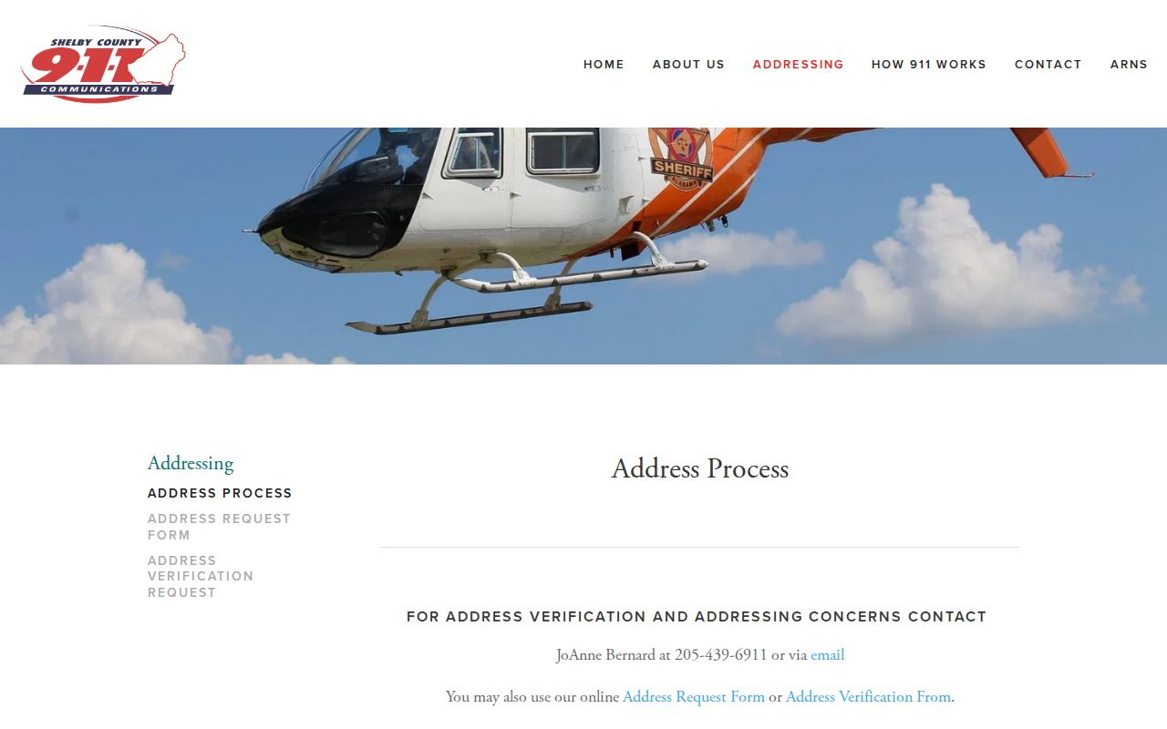
That measured pattern is useful evidence, but Shelby 911 does not release its name-and-address list to the public. A directory search must return to public parcel, deed, voter, and historical records for names.
Shelby County Street Record Sources
No single office keeps a complete Shelby County address index. Each source answers a narrower question. GIS locates land. Tax records describe the account. A deed documents a transfer. A permit records work at a site, and a voter file may tie registered voters to an address while omitting protected data. Dates must stay attached to every row.
| Address source | Custodian | Evidence returned | Access route |
|---|---|---|---|
| Parcel and tax account | Property Tax Commissioner and GIS | Parcel, situs, legal identifiers, tax-year data | Online; phone fallback |
| Deeds, liens, plats | Probate Recording | Parties, instrument, book/page, legal description | ROAM; counter; phone or mail |
| Permit file | County or city permit office | Project address, parcel, applicant, work and dates | Portal where offered; office request |
| Voter data | Secretary of State and Board of Registrars | Registrant address subject to omissions | Purchased file; county counter |
| Historical sources | Museum, ADAH, libraries, LOC | Household or structure clues by edition | Online, onsite, or staff request |
If the Property Tax Citizen Access site cannot be used, retain the GIS parcel number and call the Property Tax Commissioner at 205-670-6900. Mapping Services at 205-670-6986 can address parcel geometry and map layers. These are better fallbacks than guessing from a mailing label.
Shelby County Streets Meet ROAM
The street-to-deed handoff starts with the GIS parcel window. Capture the legal description and deed reference, then open ROAM Public Access. The recorded-document search accepts an instrument number, date range, party name, document type, book and page, map book and page, lot and block, section-township-range fields, and a legacy number. Party names can be searched by starts-with, contains, exact, or phonetic modes.
A deed result can show instrument number, recording time, indexed name and role, document type, opposite party, book and page, map references, legal description, and an image link. This confirms a recorded transfer, not day-to-day occupancy. Follow the seller as an earlier buyer only after the legal land description matches.
The county's recording gateway states online deed coverage from 1819 to the present. Yet some old mortgage cancellations lack electronic images. For a complete street chain, use Probate Recording in Room A401 at 112 N. Main Street, Columbiana, call 205-670-5220, or write to P.O. Box 825, Columbiana, AL 35051. The counter is a completeness route, not just a copy desk.
Shelby County Streets and Permits
Permit research begins with jurisdiction. County Development Services covers unincorporated Shelby County and specified areas, while incorporated cities may keep their own files. Chelsea, Columbiana, Indian Springs Village, and Wilton require local zoning approval before county submission. A Birmingham or Pelham postal line alone does not prove which office issued the permit.
The county residential packet can record the project address, city and ZIP, subdivision and lot, parcel, suite, improvement type, project cost, flood status, existing structures, square footage, and scope. Those fields can date work and link it to a parcel. They do not prove residence. Pelham advertises public searches for permits, plans, inspections, and code cases, though the research did not establish its coverage dates or exact anonymous search fields.
Columbiana uses zoning review, building-permit discussion, and an identified-property walkthrough before a business opens or relocates. The city's published process shows why a street-directory search may require direct contact rather than a public history database.

The screenshot marks the municipal route for an address inside Columbiana. County records alone cannot replace that city file.
Request a Shelby County Address
New rural and unincorporated street numbers run through Shelby 911. Three addressed structures normally trigger road naming. A general road-name change requires 70 percent agreement, a petition, and payment for signs. An assigned private-road name does not create public maintenance or mail service. These facts matter when a street appears under a new name in current records but under a route or locality in older ones.
The Shelby 911 address request form is the official entry point for a new assignment. The usual goal is completion by the end of the second business day, while field measurement may take five to ten working days.
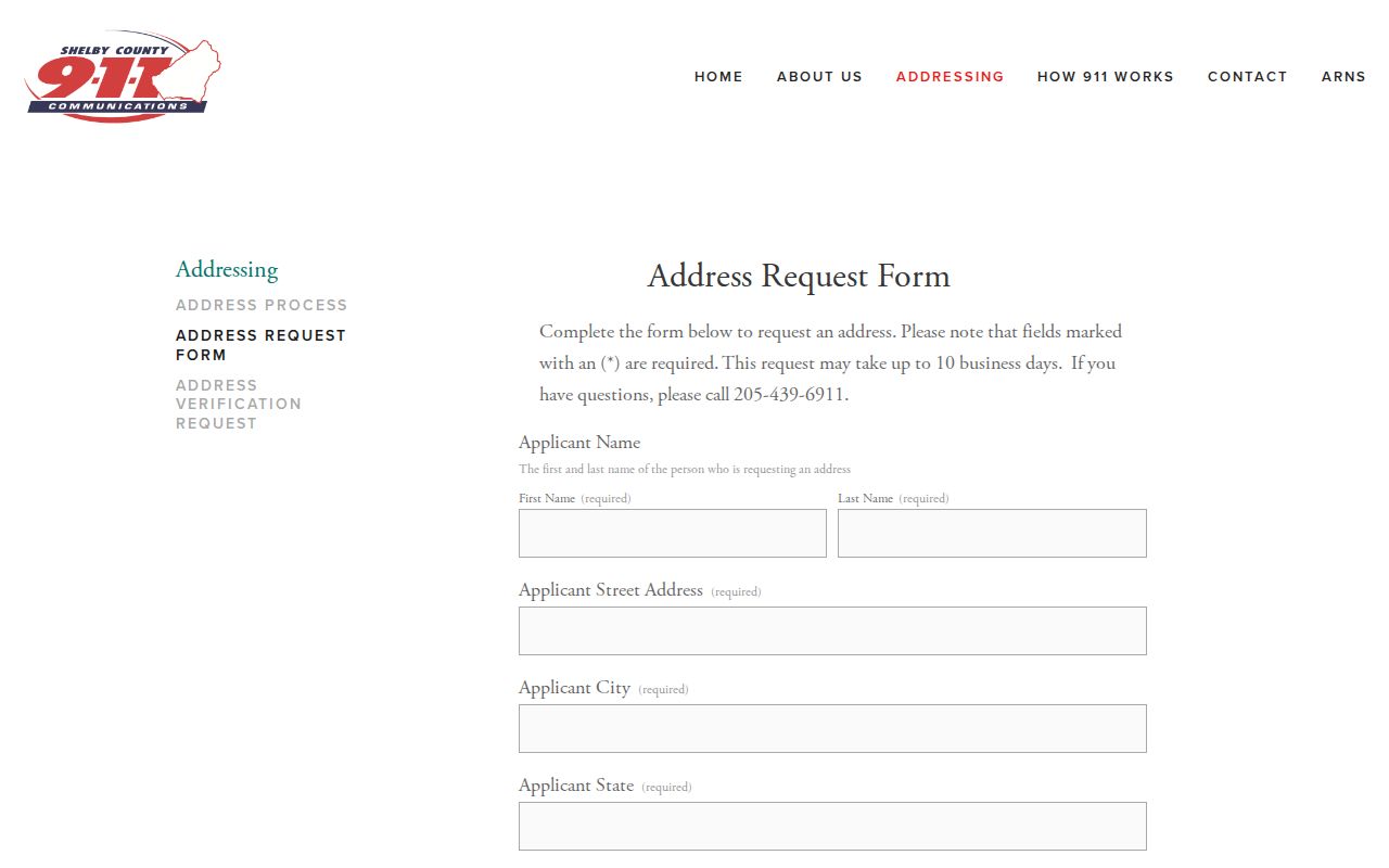
A newly assigned address may be newer than the parcel, plat, or deed. Preserve the legal description and parcel lineage when matching records across that change.
Shelby County Voters by Street
Alabama VoterView is a self-verification tool. It requires first name, last name, date of birth, and a reCAPTCHA challenge. Its separate polling-place mode accepts a residential location. Neither mode is a public street browser, so it cannot supply a countywide block list.
A broad voter file is obtained through the Secretary of State request route under Alabama law. The currently posted form prices electronic files by record and offers ASCII or Excel formats; a legacy download expires after seven days. Protected domestic-violence voters have residence and mailing addresses omitted. Alabama also has no party-registration field. Registration status is dated evidence and does not prove a person's present physical location.
The Shelby County Board of Registrars at 202 West College Street in Columbiana handles local questions and corrections at 205-669-3913. Historic street work can also use Alabama's 1867 registration books and local school or poll material. Initials, spelling changes, and boundary shifts call for broad matching.
Shelby County Streets Across Time
The verified historical sources are useful but uneven. The Library of Congress holds Sanborn maps for Calera, Columbiana, Montevallo, and Shelby in selected years from 1889 through 1933. These maps show structures and street patterns, not occupants. Shelby County Museum & Archives has newspapers from 1866 forward, school censuses for 1912, 1916, 1920, and 1924, and name indexes. ADAH holds Shelby County directories for 2000, 2001, and 2002.
No authoritative countywide street-renaming chronology was found, and the verified directory run is too short to claim a century-long reverse directory. Historic place names offer another route. Montevallo was Wilson's Hill, while Siluria and Maylene still appear in local and postal usage. The county seat moved from Shelbyville to Columbia in 1826, and Columbia became Columbiana in 1832.
For the directory volumes themselves, use the Shelby County Directory Book research. A street search should only use a reverse section after checking that the specific volume contains one.
Shelby County Street Directory Limits
An address directory cannot identify every person at a Shelby County site. Property rolls omit many non-owner occupants and household members. Deeds identify parties to instruments, not all occupants. Permit files identify an applicant or named contact. Voter records omit people who are not registered and protect some addresses. Sanborn maps show buildings, while directories and census schedules depend on their date and coverage.
Driver records, utility customers, delivery data, and Shelby 911's operational name-address list are not open substitutes. A compiled commercial result may join old marketing data with parcel information and can confuse namesakes or former residents. Verify a useful clue against the custodian and state its role precisely.
Lawful use. Use Shelby County address records only for lawful personal research, civic transparency, family history, or property study. Never use them to stalk, harass, intimidate, or defeat a protected-address rule.
When the goal shifts from a whole road to one named person, the Shelby County Resident Lookup explains how to separate namesakes with more than one official anchor. For street work, keep the final table dated and label each person as owner, grantee, voter, applicant, directory occupant, or unknown.