
Shelby County ZIP Code Coverage
The official 2020 Census relationship file identifies 23 ZIP Code Tabulation Areas, or ZCTAs, that intersect Shelby County. The table records principal place or broad coverage from that research. It does not assign a USPS post office to each row. Census data cannot prove a delivery station, so the post-office column says so plainly instead of turning the principal place into an unsupported assignment.
| ZIP | Areas Covered | Post Office | Shelby Note |
|---|---|---|---|
| 35007 | Alabaster / Siluria | Not established by Census data | Core central-west |
| 35022 | Bessemer | Not established by Census data | Small southeast edge; postal city outside county |
| 35035 | Brierfield | Not established by Census data | Small Bibb-boundary overlap |
| 35040 | Calera | Not established by Census data | Large south-central area; city crosses Chilton line |
| 35043 | Chelsea | Not established by Census data | East-central and nearby unincorporated area |
| 35051 | Columbiana | Not established by Census data | County seat and rural surroundings |
| 35078 | Harpersville | Not established by Census data | Eastern rural area |
| 35080 | Helena | Not established by Census data | City also crosses the Jefferson line |
| 35094 | Leeds | Not established by Census data | Eastern edge and cross-county geography |
| 35114 | Maylene | Not established by Census data | Northwest Alabaster-area mailing geography |
| 35115 | Montevallo | Not established by Census data | Southwest county |
| 35124 | Pelham / Oak Mountain | Not established by Census data | North-central county |
| 35128 | Pell City | Not established by Census data | Tiny eastern overlap; principal city in St. Clair |
| 35143 | Shelby / Lay Lake | Not established by Census data | Southeast lake area |
| 35147 | Sterrett / Dunnavant Valley | Not established by Census data | Eastern corridor |
| 35176 | Vandiver | Not established by Census data | Eastern county |
| 35178 | Vincent | Not established by Census data | Municipality crosses St. Clair and Talladega |
| 35185 | Westover | Not established by Census data | Very small or PO-box geography |
| 35186 | Wilsonville | Not established by Census data | Southeast county |
| 35216 | Birmingham / Vestavia | Not established by Census data | Tiny northwest overlap |
| 35242 | Birmingham mailing area | Not established by Census data | Large U.S. 280 / north-Shelby area |
| 35243 | Birmingham / Mountain Brook | Not established by Census data | Tiny northwest edge |
| 35244 | Birmingham / Hoover | Not established by Census data | Riverchase / northwest Shelby; crosses Jefferson |
The full set includes major delivery areas and very small edge overlaps. A ZCTA touching Shelby County does not mean that every address in that ZCTA lies in the county.
Census Maps Shelby County ZIP Codes
The Census Bureau explains that ZCTAs are statistical areas built from census blocks. They approximate the geography of many ZIP Codes for data work, but they are not USPS delivery boundaries.
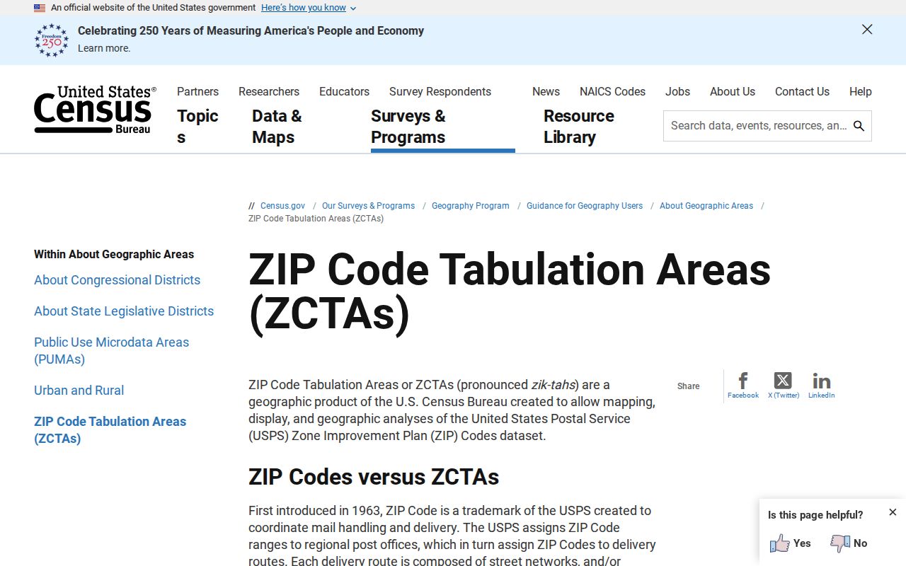
The distinction changes how this Shelby County postal guide should be read. A ZCTA row is evidence of a Census intersection, not a guarantee about mail delivery for one house.
The 2020 national ZCTA-to-county relationship data supplies the county intersection evidence used above.
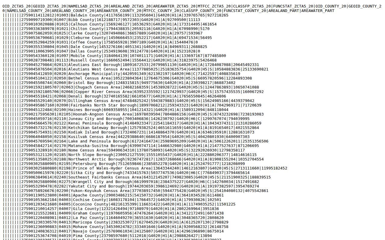
This file captures graphic ZCTAs. It may omit nongraphic, unique, or PO-box ZIP Codes, which is why a postal check still comes first for an exact address.
Shelby County ZIP 35242 Jurisdiction
ZIP 35242 is the clearest local warning. “Birmingham” can be the mailing city for an address in unincorporated Shelby County or another municipality. The label does not establish Birmingham city jurisdiction. Starting with Birmingham offices solely because of that line can send a deed, permit, or civic-record search to the wrong keeper.
North Shelby also includes Pelham, Hoover, Vestavia, and Birmingham mailing identities near county and municipal lines. Confirm the parcel in the Shelby County GIS Public Website, then identify the municipality before choosing an office. Postal city, municipality, and county are separate facts.
Shelby County ZIP Codes Cross Borders
Calera, Helena, and Vincent each cross county lines. Calera extends into Chilton County. Helena crosses into Jefferson County. Vincent spans Shelby, St. Clair, and Talladega counties. Leeds and Hoover also show how one municipal name can lead to different county record keepers.
For 35040, 35080, 35178, 35094, or 35244, obtain the parcel county before searching probate, tax, court, or election material. Duplicate custodian checks make sense only after the location is pinned down. Otherwise, a search may find the right road name in the wrong courthouse.
Note: The county boundary controls county records even when the mailing city and municipal name look familiar.
Tiny Shelby County ZIP Overlaps
Five ZCTAs show small statistical edges that short county ZIP lists may miss: 35022 for Bessemer, 35035 for Brierfield, 35128 for Pell City, 35216 for Birmingham or Vestavia, and 35243 for Birmingham or Mountain Brook. They are legitimate Census intersections, but many searches will never encounter an actual Shelby address in those slivers.
Westover 35185 and USPS-documented Saginaw 35137 show the opposite limit. Small, PO-box, or nongraphic postal geography may not appear as a 2020 county-intersection polygon. The Shelby County ZIP reference therefore combines Census evidence with an explicit warning that the list is not a complete USPS delivery inventory.
Find Shelby County Residents by ZIP
No verified county GIS or assessor mode searches all owners by ZIP. The GIS documentation supports address, owner, and parcel searching, while Alabama VoterView verifies one registrant with first name, last name, date of birth, and a challenge. VoterView is not a public ZIP browser.
A lawful ZIP-based search is a narrowing process, not a bulk-export promise:
- Verify the complete delivery address and ZIP through the official postal lookup.
- Open Shelby GIS to confirm parcel, county, and municipality.
- Use the correct official roll by exact address, parcel, or known name.
- Check the responsible municipal or county office when online search stops.
- Move to the Shelby County Street Directory when the task narrows to a street.
A legally obtained voter file can support address analysis subject to its fields and restrictions, but the public self-lookup cannot. The Alabama voter-list request form is the documented request route. The county Board of Registrars handles direct registration questions at 205-669-3913.
Five Shelby County Address Geographies
An address search can carry five different location facts. Keeping them separate prevents a postal label from replacing the parcel's legal identity.
| Geography | What it answers |
|---|---|
| Situs address | The street location assigned to the property. |
| Owner mailing address | Where tax or owner mail is sent; it may differ from the site. |
| Legal description | The lot, block, subdivision, or land description tied to the deed. |
| Municipal boundary | Which city, if any, governs the site. |
| Postal city and ZIP | The mailing identity used for delivery. |
Legal description and parcel lineage remain useful when routes, house numbers, or postal cities change. Owner mailing and situs addresses can match or differ, and neither alone proves who lives at the property. Census QuickFacts supplies countywide population context, but it does not settle mail delivery or ZIP boundaries.
Shelby County ZIP Directory Terms
The Shelby County ZIP reference uses several postal and statistical terms. None should be treated as a resident list.
- ZIP Code
- A USPS code used to route mail. Its delivery geography can change and need not follow city or county lines.
- ZCTA
- A Census statistical polygon designed to approximate ZIP geography for published data.
- ZIP+4
- The basic ZIP plus four more digits that narrow delivery within the larger code.
- PO-box ZIP
- A code or postal geography used for post-office boxes rather than a mapped residential area.
- Unique ZIP
- A code assigned for a single large recipient; it may have no Census polygon.
- Carrier route
- A postal delivery route within a ZIP, not a municipal or county boundary.
No ZIP realignment year or verified local ZIP-capable portal screen was found. Those gaps matter. No unsupported search-field table or undocumented split is supplied.
Verify Shelby County ZIP Geography
The most reliable order is postal lookup for deliverability and ZIP, Shelby GIS for parcel and jurisdiction, Shelby 911 for the assigned address, then deed or plat for legal land identity. The Shelby 911 addressing rules use a measured system with 1,000 numbers per mile, even numbers on the right, and odd numbers on the left in the numbering direction.
Shelby 911 generally assigns a new address by the end of the second business day, though field measurement may take five to ten working days. It does not release name-and-address lists to the public. A private road name also does not create public maintenance or mail service.
Fast growth and new subdivisions can leave older directory editions behind. In rural areas, a route, historic locality, and modern E911 address may all describe the same land at different times. Use the parcel and legal description as the bridge, and use the postal directory only for the geographic slice it can support.