
Sources for Shelby County Neighbors
A block lookup is a layered record task. Shelby County GIS is the best first source because it can select adjacent parcels around a point or within a shape. The tax and deed systems then supply evidence about assessed owners and recorded grantees. Voter records have their own access rules and protected omissions. Historic maps show the built block, while a civic directory identifies only contacts that an organization has chosen to publish.
| Source | What It Shows About a Block | Access |
|---|---|---|
| Shelby County GIS | Parcel outlines, road frontage, lot and block data, nearby result set | Free online viewer with CSV export |
| PTC and recorded deeds | Assessed owner and recorded transfer parties | Free tax/GIS search and ROAM index; counter fallback |
| Voter file | Registrants by address, with protected omissions | Statutory purchase route, not public VoterView browsing |
| Sanborn maps | Historical footprints and street form in selected towns | Digitized Library of Congress maps |
| Civic and chamber listings | Published organization and business contacts | Public directory only, not a private member roster |
The result should preserve those evidence labels. “Assessed owner” is not the same as “resident.” A recorded grantee may later sell the parcel. A voter record may be old or protected. A permit applicant may be a contractor. Calling all of them neighbors erases important limits and can join unrelated people to an address.
Map Shelby County Neighbors Nearby
The Shelby County GIS Public Website accepts a street address, owner name, or parcel. Select the matching suggestion to zoom to the parcel. Enhanced Search then supports By Shape tools including point, extent, circle, polygon, and freehand polygon. The optional buffer starts at 100 feet, which makes it a practical tool for the immediate lots around an address.
- Search the known address and confirm its parcel, road, municipality code, subdivision, and primary lot or block.
- Open Enhanced Search and choose the Parcel Owner layer and the relevant tax year.
- Use Point for one adjacent lot, or Circle, Polygon, or Extent for a small group. Add the 100-foot buffer when it matches the question.
- Review selected parcels in red, open each result, and export the set to CSV. Keep the assessment tax year with the file.
- Follow the parcel's deed link and verify each transfer in ROAM before labeling anyone a recorded owner.
The viewer caps a result set at 1,000. A small block should remain well below that limit. Add parcels in controlled passes if a boundary is complex. Zoom, Pan, and Flash help distinguish tight lots, while measurement tools can test frontage or distance. The Swipe tool compares tax-year parcel layers. Those tools map land relationships, not household membership.
For every parcel, separate the property situs from an owner's mailing address. A match may support an owner-occupancy theory, but it still does not prove that every owner resides there. A mismatch may reflect an absentee owner, another property, or a mailing choice. For a whole named road rather than the immediate radius, use the Shelby County street directory.
Note: Save the tax year and lookup date because parcel, deed, voter, and directory sources rarely describe the exact same moment.
Shelby County Block Buffer Details
The GIS buffer is more capable than a row of manual parcel clicks. Shape selection can capture lots behind a starting parcel, parcels across an intersection, or land within a drawn area. Refine controls let a researcher create, add, or remove results. A multipart option can preserve separate clusters. The viewer can also accumulate a result set, email an individual result link, and export records for careful comparison.
A clean block sheet uses one row per parcel and keeps factual roles apart: parcel number, situs, assessed owner, recorded grantee, deed date, public registrant if lawfully obtained, permit applicant, directory occupant, and unknown. Include the legal description or lot and block when postal names are confusing. Shelby County's northern corridor often uses Birmingham, Hoover, or Pelham mailing labels even where municipal jurisdiction differs. Calera, Helena, and Vincent also cross county lines.
GIS tip. Start with the documented 100-foot buffer, then adjust the shape to the real block rather than treating a circle as a neighborhood boundary.
This method is especially useful in dense subdivisions. Rural parcels may be much larger, so a fixed distance can omit the closest house or include only part of one tract. Parcel geometry, road access, and visible building location should guide the selection.
Shelby County Neighbors and Voter Data
VoterView is a self-verification service, not a tool for browsing neighbors by street. It requires first name, last name, date of birth, and reCAPTCHA. A separate polling-place search accepts a residential-address autocomplete. Neither mode produces a public block list. Treating it as one would misstate the portal and encourage weak identity matches.
Alabama provides a separate voter-file request route under Ala. Code § 17-4-38. The currently posted form states $0.01 per electronic record with no minimum, ASCII or Excel format, and $1 per printed page. An online order adds 2.5 percent with a $1 minimum. Preserve the request form and receipt because legacy guidance says a download expires after seven days. The Shelby County Board of Registrars at 202 West College Street in Columbiana is the local channel for registration questions and corrections.
Protected domestic-violence voters can have residence and mailing addresses omitted under Ala. Code § 17-4-33(b) and the related administrative rule. Social Security numbers and month and day of birth also have statutory limits. Alabama does not register voters by party, and ballot choices stay secret. Registration is voluntary, so even a lawful file cannot describe every person on the block.
Find Shelby County Civic Neighbors
Community directories offer a public-contact layer, not a household roster. Research did not locate an authoritative countywide list of neighborhood associations or homeowners groups. Congregation, watch, club, and association membership should therefore be treated as private unless the group has affirmatively published it. A plat or covenant may name a developer or association, but it does not identify current members.
The Shelby County Chamber member directory includes a Family, Community & Civic Organizations category. Use it to locate a public office, association contact, or business contact and ask for material the organization publishes. Do not ask the directory to answer who lives at each nearby address.
Open the Chamber directory to identify published Shelby County civic contacts.
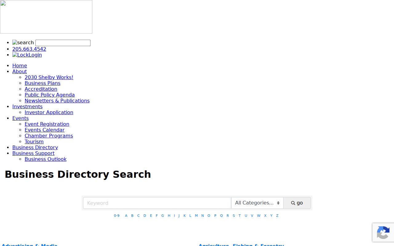
The captured page shows the public directory route, which is useful for an organization contact but not for private membership.
Shelby County Mapping
Use the GIS viewer for parcel selection, legal identifiers, map layers, and CSV export.
Board of Registrars
Use the local office for voter status, correction, and lawful file questions at 205-669-3913.
Chamber Directory
Use published listings to reach community organizations and request their public material.
Municipal government can add another public-contact route. Columbiana publishes a records policy for city-held material, but a city policy does not control county elected custodians or another municipality.
Review Columbiana's public-record policy before requesting a city record.
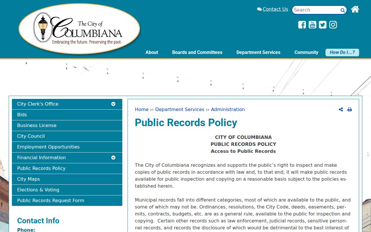
The screenshot marks a municipal access channel and reinforces the need to identify jurisdiction before sending a request.
Verify Shelby County Neighbor Claims
Official rolls and compiled commercial tools should not be treated as equals. A county record has a defined custodian, purpose, update cycle, and correction route. A compiled result may blend parcel data, marketing files, and old contacts without showing when each element was collected. It can place names from different years into one apparent household or merge people who share a name.
| Source Type | Best Use | Main Limit |
|---|---|---|
| GIS and tax roll | Map the parcel and assessed owner | Does not list all occupants |
| Recorded deed | Confirm a legal transfer | Recorded grantee may not live there now |
| Voter file | Identify registered voters where fields are lawfully available | Voluntary registration and protected omissions |
| Commercial compilation | Generate a lead to verify elsewhere | Stale, merged, and weakly sourced data |
Professional-license records are similarly narrow. They can test a public credential claimed by someone, but a practice or contact address is not proof of residence. Alabama's nursing verification is a well-inspected example: search by license number or name, then review name, number, type, status, issue and expiration dates, encumbrance history, and related fields.
Use the Alabama Board of Nursing page only when a nursing credential is the claim being checked.
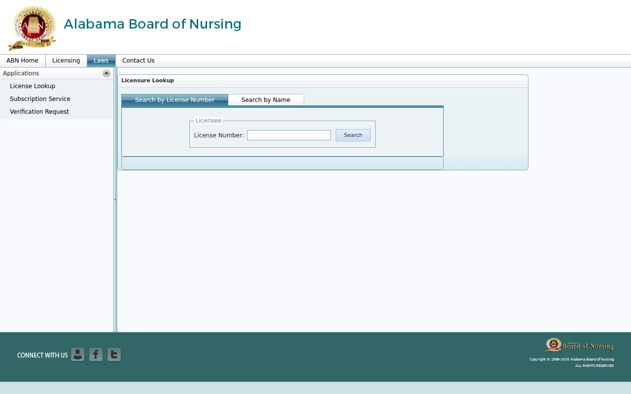
The image illustrates a primary-source credential check, not an address or resident directory.
Historic Shelby County Neighbor Blocks
A present parcel map can be paired with Sanborn fire-insurance maps for selected Shelby County towns. Those maps show building footprints, construction features, and older street form. Verified runs include Calera, Columbiana, Montevallo, and Vincent in different years. A Sanborn sheet cannot name an occupant, but it can show whether a structure or street pattern existed during a chosen period.
Match the historic footprint to a deed legal description, then compare the nearest public census, school census, newspaper, or directory material. Federal census releases reach through 1950. Shelby County school census booklets for 1912, 1916, 1920, and 1924 can identify parents or guardians and children between federal census years. Newspaper coverage in county archival holdings begins in 1866. These sources describe a historical block, not today's neighbors.
Old place names matter. Columbiana was once Columbia, Montevallo was Wilson's Hill, and Siluria and Maylene persist as community names. A rural route, later emergency address, and legal land description may all point to the same ground. The legal description and parcel lineage are the safest bridge across those naming changes.
Note: Absence from one Sanborn sheet may reflect the map's coverage edge rather than the absence of a structure.
Privacy for Shelby County Neighbors
A neighbor lookup cannot lawfully expose everything about a block. Parcel systems omit most occupants and household members. Protected voter addresses remain withheld. Utility customer details, motor-vehicle data, delivery records, and Shelby 911's operational name-address information are not open substitutes. Public safety and court files also carry sealing, redaction, and confidentiality rules.
Use a custodian-specific request when an ordinary portal lacks a public record. Mapping and the Property Tax Commissioner handle parcel questions; Probate Recording handles full deed books and images; the proper county or city permit office handles its address files. Incorporated status must be confirmed first. A Birmingham or Pelham postal line alone does not identify the agency with authority.
Lawful use. Learn about Shelby County neighbors for civic curiosity, reconnection, or personal safety. Never use records to watch, stalk, threaten, or harass a person.
Keep a modest conclusion. An owner list describes ownership. A registrant list describes registration. A public civic contact describes an organization role. When the evidence cannot identify an occupant, mark the field unknown. That restraint protects people and makes the block record more accurate.